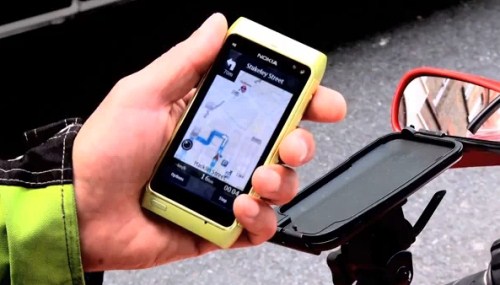
There’s a motorcycle accessories store that I go to quite a lot. It’s quite a distance away – 10 kilometers through the city or so – but I like it because it has the best range and quite good prices. Anyway, I was there the other day buying some new touring pants, and as I got back on the bike to head home I noticed that the battery in my phone was dead. I have a GPS-holder mounted to the handlebar, and I use the GPS and Nokia’s Ovi Maps turn-by-turn navigation whenever I’m on the bike to get me around Berlin and Germany. Not this time, though – I was on my own.
I wasn’t worried: I must have driven this way 10 times before. Two blocks later I missed the first turn. After that, I stood for two minutes at another intersection wondering which way to go. Without my GPS I was sadly, sadly helpless.
I think I am losing the ability to remember the way to places. This is, I think, even impacting how easily I can find places.
To be more specific, I think I am losing my ability to process and remember the spatial relationships between places and things. This manifests itself in situations like the story above, where I found it difficult to get home without my GPS turned on spewing out directions at me. I also notice it when someone tries to explain verbally driving or walking directions to somewhere. “So you’ll wanna walk all the way down this street, then take the left by the big red warehouse, then the second left. After that you’ll come to a bridge…” After the second or third instruction, I’m lost.
It never used to be this way. 10 years ago I could look at a paper city map or street directory and then drive across town on my gut navigational feel. Coming home would be a breeze – I would know the way back without missing a beat. Now I’m so used to having someone tell me when to turn and how fast to drive (my GPS), I’m completely helpless without it.
What’s happened to me?
We hear a lot these days about how our relationship with memory, language and concentration is continually changing with our increased usage of and reliance on the internet. In his book The Shallows author Nicholas Carr explores how the prevalence of the internet as an information medium is actually changing the ways our brains work: our attention span is shorter, concentration more sporadic. We tend to speed-read and skim texts for keywords, and our consciousness seems now hardwired to navigate through hyperlinks: our attention flashes off on parallels based on keywords or themes in the text. Nearly no-one native to this, Carr predicts, will have the ability to read “Of war and peace”, for example. Their brain just won’t be able to process it: too long, too complex, too ‘heavy’.
I see this happening in my brain too; but based on my experience with my GPS what I am now really interested in is how the internet and mobile technologies, specifically location based services, impact and influence how we interact with places, and how they change our concept of spatial awareness.
To go back to the GPS example: I think relying on a GPS for so long has made me less reliant on my own conscious awareness, and subsequently my own memory. When you don’t have a small computer spurting out instructions at you you’re forced to, well, watch where you’re going. As you drive you observe street signs and landmarks, and you use these to make navigational decisions: you mentally build spatial connections between points in space around you as you ‘save’ the route in your mind. Driving home along the same route is easy because you have constructed a mental model of the way you’ve come. When you drive with turn-by-turn guidance, even when walking, you don’t do this so much. You disconnect from the scene; you’re not making navigational decisions anymore, you’re just doing what you’re told. Instead of a constant spatial feedback loop between you and the world, you are simply driving blind.
I think this changes the way you interact with the world around you in a very fundamental way. You become less the ‘driver’, in a sense, and more of a passenger. One thing I love about motorcycles as opposed to cars is that when you drive in a car, you’re constantly enclosed in a protective shell; this isolating bubble between you and the world. You move with this massive metal encasing through the scene, but you are not part of the scene. With a motorcycle, you’re not enclosed in anything (only your helmet). You can feel and smell the air around you. You’re part of the scene. Driving on GPS, I think, adds another layer to that bubble around you: you really are absent from the scene.
One could propose an experiment to attempt to measure the impact of relying on turn-by-turn guidance on how people interact with the world around them: take 12 participants, and split them into pairs. All pairs get the same navigational task: get from point A to point B in the city (the route should be unknown to all participants). Three pairs get a GPS with turn-by-turn guidance, three pairs get an old-fashioned street directory, and the last three pairs get nothing. At the end, quiz participants on how much they remember about the natural environment. How many Starbucks did they pass? What was the name of the main street? And so on. I predict the people navigating with no assistance would remember the most valuable details about the journey, and those navigating with GPS will struggle to remember much of anything meaningful at all.
I’m quite sure it goes much deeper than this, and that I’m just scratching the surface. For example, how do services like Foursquare or Facebook Places change how we interact with physical places? With the mass of place reviews, comments, checkins and other data available on the web, how is our perception of the quality of actual places effected? How does it change our concepts of what is good or bad, popular or unpopular, trendy or crappy? With the web on your desktop or mobile you have the ability to experience and interact with places other than the physical location you’re sitting in. What does that do for how you perceive the place?
As location-based services continue to mature and grow and penetrate our lives in deeper ways, understanding how users interact with products on an emotional and psychological level will be a key to building services that provide meaningful interactions. It’s also important to understand the effect these services have on our own concepts of spatial awareness and spatial cognitive processing: how do we interact with and feel about places, and how is this altered when we use these services? Understand this, and we can create experiences with meaning.
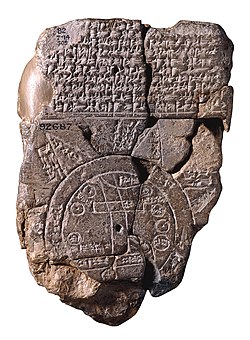 Babylonian map of the world, dated around 6BC. Source:
 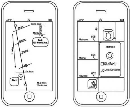 Apple schematic maps concept mockups. Source: Patent application.
 City Exploration on
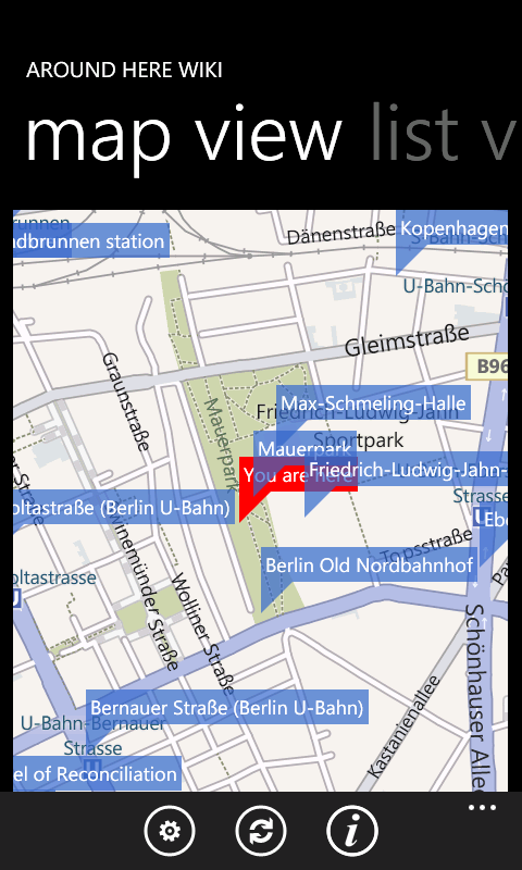
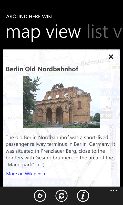
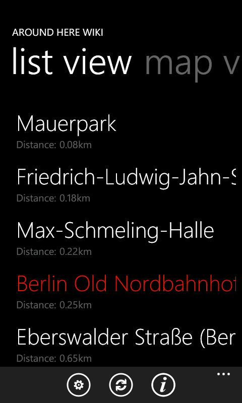